Village
İFNARİ
Dmanisi municipality, Kvemo Kartli
İfnari lies on the Gomareti (Qomaret) plateau, 14 km north-west of Dmanisi, at 1,260 m above sea level.
- Plateau
- Gomareti plateau
- From Dmanisi
- 14 km north-west
- Altitude
- 1,260 m
- School
- Public school
- Population, 2024
- 235
Source: Ş. Məmmədli, “Gürcüstan Azərbaycanlıları”, Tbilisi, 2006, p. 33. Population (2024): Geostat, 2024 census.
Nº 01Photographs
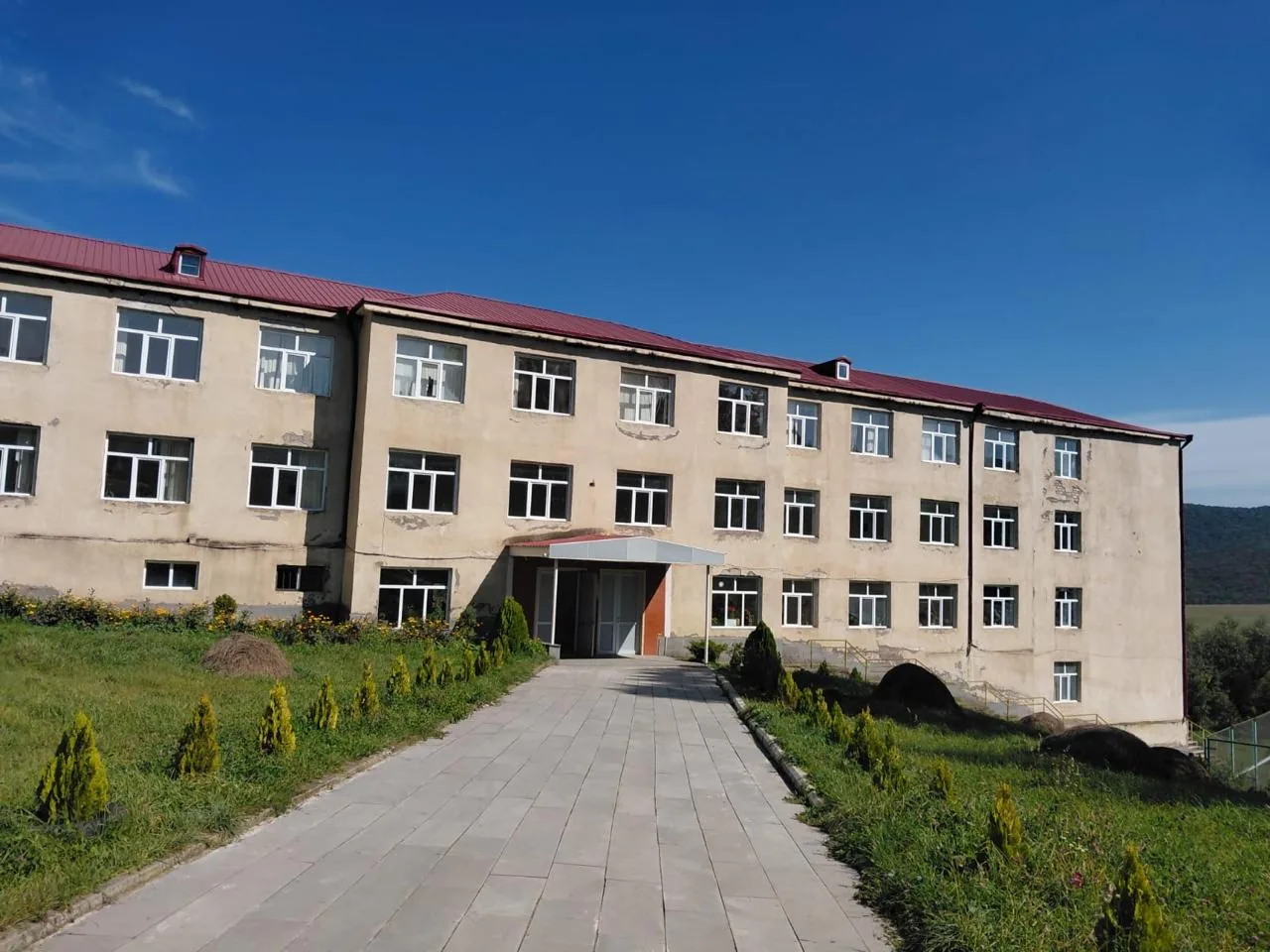
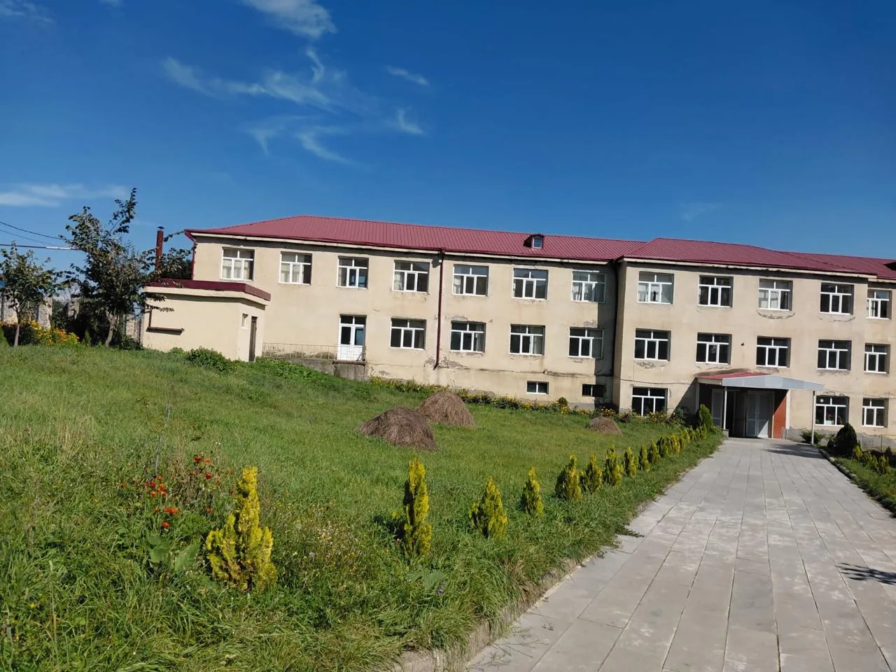
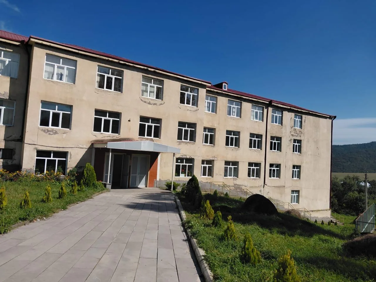
Photographs courtesy of Dr. Aygül İsayeva.
Nº 02Timeline
- 1943On 5 August 1943 the village was named Kirovis.
- 2002Population: 481 (225 men, 256 women).
- 2006Population: 515 people in 111 families. The village had a basic school.
- 2024Census: 235 people (Geostat).
Notes
- Ş. Məmmədli’s book (2006) lists the village under the name Kirovis.
- According to Ş. Məmmədli, until the 1940s the village was inhabited by Germans and was called Valdheym (Waldheim). Azerbaijanis have lived here since that time.
Source: Ş. Məmmədli, “Gürcüstan Azərbaycanlıları”, Tbilisi, 2006, p. 33. Population (2024): Geostat, 2024 census.
Are you from İfnari? Send us photographs, documents and memories, and help us complete this page.
Contribute