Village
KƏPƏNƏKÇİ
Marneuli municipality, Kvemo Kartli
Kəpənəkçi lies on the right bank of the Kura (Mtkvari), 25 km east of Marneuli, beside the road between Tbilisi and Sınıqkörpü, at 290 m above sea level.
- River
- Right bank of the Kura
- From Marneuli
- 25 km east
- Road
- Road between Tbilisi and Sınıqkörpü
- Altitude
- 290 m
- Population, 2024
- 1,044
Source: Ş. Məmmədli, “Gürcüstan Azərbaycanlıları”, Tbilisi, 2006, pp. 66–67. Population (2024): Geostat, 2024 census.
Nº 01Photographs
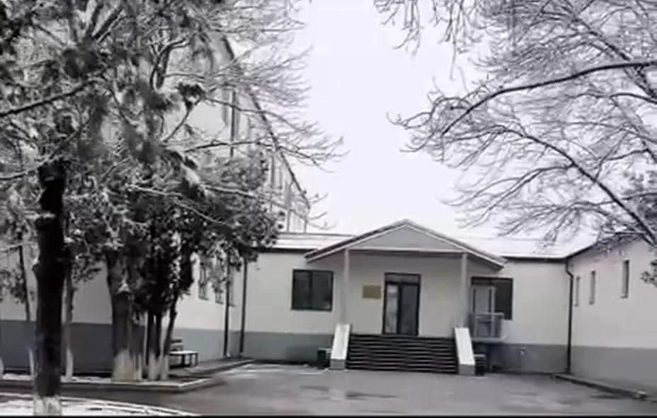
The village public school. A frame from a video
Photo courtesy of Dr. Aygül İsayeva.
Nº 02Timeline
- 1803Population: 500 people in 165 families.
- 1870Population: 409 people in 61 families.
- 1886Population: 360 people in 49 families.
- 1926Population: 480 people in 135 families.
- Until the 1950sThe village was the centre of the Dəmirçihasanlı sub-district and of the village council.
- 2002Population: 1,383 people in 318 families (711 men, 672 women).
- 2005The secondary school had 235 pupils and 26 teachers.
- 2024Census: 1,044 people (Geostat).
Notes
- According to Ş. Məmmədli, historical sources record it as Kəpənəkçi-Dəmirçihasanlı; it is also called Kürüstü-Kəpənəkçi.
- According to Ş. Məmmədli, the name is thought to be linked with the Kapan/Kəpən branch of the ancient Turkic Pecheneg tribe.
Source: Ş. Məmmədli, “Gürcüstan Azərbaycanlıları”, Tbilisi, 2006, pp. 66–67. Population (2024): Geostat, 2024 census.
Are you from Kəpənəkçi? Send us photographs, documents and memories, and help us complete this page.
Contribute