Village
QOÇULU
Bolnisi municipality, Kvemo Kartli
Qoçulu lies on the right bank of the Mashavera (Maşaver, also called Cavala), 11 km east of Bolnisi, at 480 m above sea level. Qoçulu Castle rises above the village, and the medieval Əyri körpü (Crooked Bridge) stands over the river.
- River
- Right bank of the Mashavera
- From Bolnisi
- 11 km east
- Altitude
- 480 m
- School
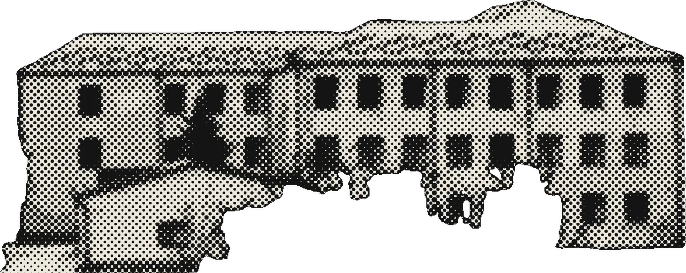
- Public school, new building
- Population, 2024
- 1,282
Source: Ş. Məmmədli, “Gürcüstan Azərbaycanlıları”, Tbilisi, 2006, pp. 22–23. Population (2024): Geostat, 2024 census.
Nº 01Photographs
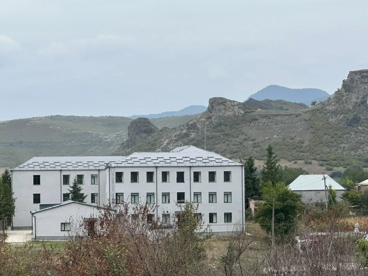
The school’s new building
Photo courtesy of Dr. Aygül İsayeva.
Nº 02Timeline
- 1870Population: 201 people in 30 families.
- 1926Population: 383 people in 76 families.
- 2002Population: 1,623 people in 494 families (788 men, 835 women).
- 2005The secondary school, named after Məmməd Çıraqov, had 226 pupils.
- 2006Population: 1,476 people in 466 families.
- 2024Census: 1,282 people (Geostat).
Notes
- In the 2024 census the village is listed under its official name, Chapala (ჭაპალა).
- According to Ş. Məmmədli, Qoçulu Castle is also known locally as Qız qalası (Maiden’s Castle), Cavalaşam Castle and Koroğlu Castle.
Source: Ş. Məmmədli, “Gürcüstan Azərbaycanlıları”, Tbilisi, 2006, pp. 22–23. Population (2024): Geostat, 2024 census.
Are you from Qoçulu? Send us photographs, documents and memories, and help us complete this page.
Contribute